Slangkop Lighthouse to Cobra Camp
Kommetjie
 " alt="Loading..." title="Loading" />
About Slangkop Lighthouse to Cobra Camp
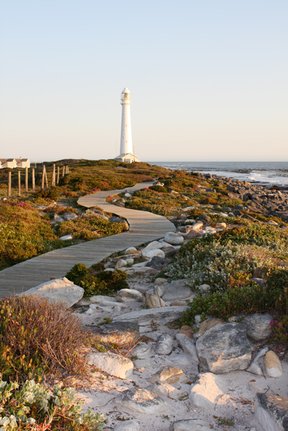
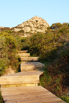
Start at Slangkop Lighthouse and take the boardwalk up though a short section of milkwood forest. This soon becomes a well-maintained rocky path up to the Main Road from Kommetjie to Scarborough and Cape Point.
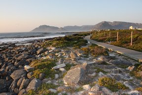
Cross this road with caution on the blind corner and take the zigzagging path up to the top. It’s worth stopping along the way to gaze at the ever-expanding views of the Kom and across the ocean to Hout Bay, Table Mountain and Chapman’s Peak.
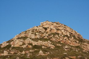
At the top are the oddly shaped ruins of the WWII Slangkop Radar Station and Cobra Camp barracks. If you get to the viewpoint before sunset, you’ll be rewarded with the sight of the Slangkop Lighthouse beaming while the sun disappears behind the ocean.
Duration: 1.5 – 2 hours
Difficulty: Easy
Distance: 2 km
Accommodation near Slangkop Lighthouse to Cobra Camp
Air Villekulla
Avg per night for 2 guests
Greenways Beach House
Avg per night
Cape Canary Cottage
Avg per night for 2 guests
Milkwood Villa
Avg per night
Duck and Doolittle
Avg per night
Kommetjie Beachouse
Avg per night
Slangkop Lighthouse to Cobra Camp Map
*Distances are shown as the crow flies and not necessarily the actual travelling


