Maermanskloof Hiking Trail
Greyton
 " alt="Loading..." title="Loading" />
About Maermanskloof Hiking Trail
This trail is 5 km in length and takes about 3 hours. The terrain is steep and strenuous. Start at lower Nerina Road at the Cape Nature Conservation camp. Go through the gate and pass the commonage. After the gate follow path to the left. At the Gobos River turn right on the path that passes the water pipe. Climb the slope and go up the neck. Head back down, passed the bend and cross the river at the wooden bridges. This is a great walk that forms part of the greater Bushmanskloof Trail.
Telephone:
(021) 659 3500
Things to do in Greyton
Accommodation near Maermanskloof Hiking Trail
The Post House
Sleeps 32 in 15 rooms
Situated just 90 minutes from Cape Town, in the beautiful Overberg region, is Greyton and home to the luxurious boutique hotel, The Post...
R1500
Avg per night
Avg per night
See all accommodation near Greyton
Maermanskloof Hiking Trail Map
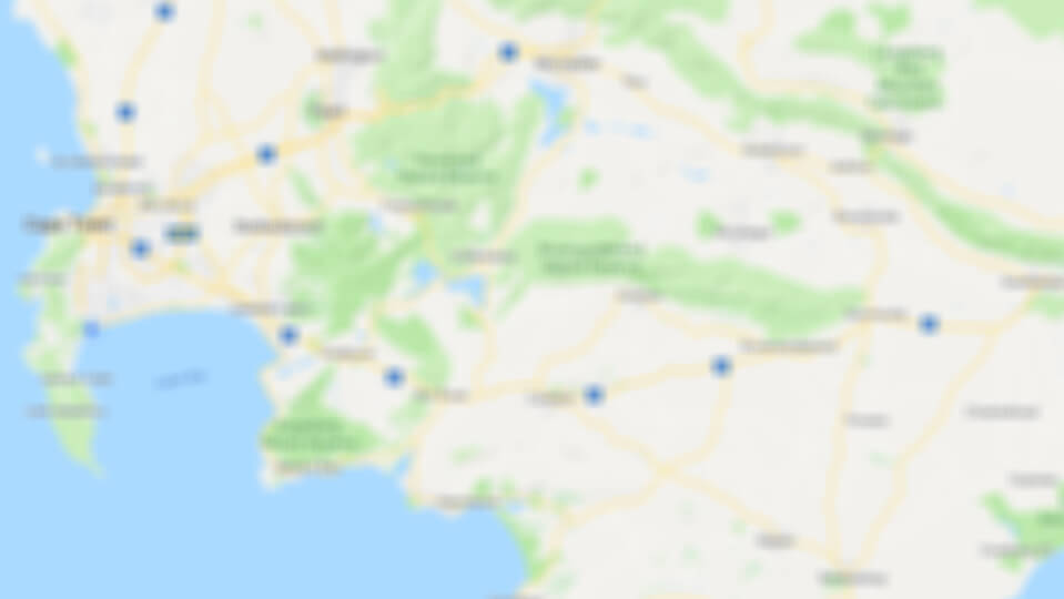
Click to display the map
Maermanskloof Hiking Trail is 3.9km from the centre of Greyton
, the nearest airport 114.4km (Cape Town International Airport).
*Distances are shown as the crow flies and not necessarily the actual travelling
*Distances are shown as the crow flies and not necessarily the actual travelling
Other things to do near Greyton
Start off your Saturday morning at the Montagu Village Market; a clear winner with the locals and...
The Donkey Sanctuary will warm your heart. The Sanctuary provides a home for abused, neglected and...
Part of the Brandvlei Dam, Kwaggaskloof Dam (also spelled Quaggaskloof), is used for long distance...
See all things to do near Greyton